Missing Maps: open maps to support humanitarian response
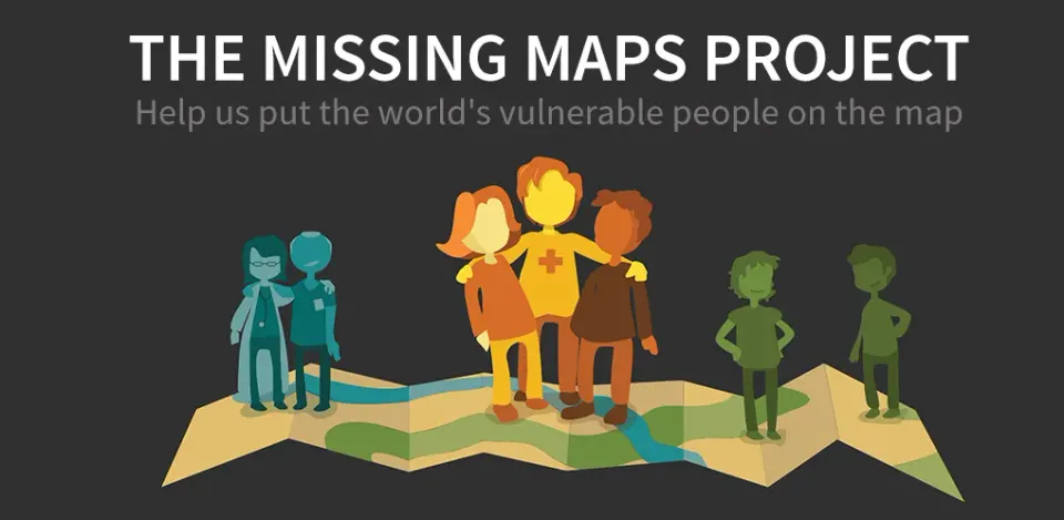
Useful maps can help emergency response. Missing Maps is a collaborative project involving organisations, communities and volunteers who contribute to OpenStreetMap to map places where humanitarian organisations work. It is not an Intel-owned programme and should not be confused with an AI system: collaboration and local knowledge are its foundation.
Useful maps can help emergency response. Missing Maps is a collaborative project involving organisations, communities and volunteers who contribute to OpenStreetMap to map places where humanitarian organisations work. It is not an Intel-owned programme and should not be confused with an AI system: collaboration and local knowledge are its foundation.
Missing Maps was born as a collaborative and open project in which you yourself can help create maps of the areas where humanitarian organizations act to facilitate access to affected areas. Since, every year thousands of people are affected by natural disasters. These disasters often happen in places that are not mapped.
Missing Maps Objectives
The basic objectives on which Missing Maps is based are:
- Map areas where people live at risk of crises or disasters, so that OpenStreetMap (OSM) is accessible to people, communities or organizations to organize a better response.
- Support OpenStreetMap, specifically the Humanitarian OpenStreetMap Team (HOT), in the development of technologies, skills, workflows and communities.
The community contributes data on buildings, roads and other features useful for humanitarian preparedness and response. The original version confused edit counts with contributor counts; those figures have been removed to avoid a misleading comparison.
How Missing Maps works
Missing Maps would work as follows:
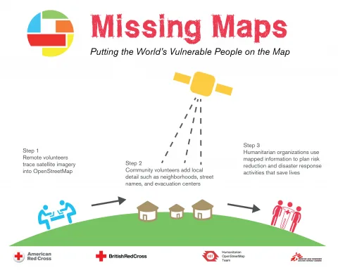
- Volunteers remotely trace features from satellite imagery on OpenStreetMap.
- Community volunteers add local details to these images such as the names of streets, neighborhoods and evacuation centers.
- Humanitarian organizations use data to plan risk and disaster minimization to save lives.
We can all help
Missing Maps shows how open data and community participation can support humanitarian work. Its value depends not only on technology, but also on local knowledge, quality checks and respect for the communities being mapped.
Therefore, we encourage you not only to participate in the Missing Maps and see how easy it is to participate and collaborate in the mapping of these areas at risk, but also for you to create your own social impact project with AI. So do not hesitate to visit the website of Saturdays.ai and thus start your own social impact projects.
Written by
Elena del Castillo Gil
A story from the Saturdays.AI community. Originally published on March 17, 2022.
← More community stories